Jurong Island is an artificial island located to the southwest of the main island of Singapore, off Jurong Industrial Estate. It was formed from the amalgamation of seven offshore islands, the islands of Pulau Ayer Chawan, Pulau Ayer Merbau, Pulau Merlimau, Pulau Pesek, Pulau Pesek Kechil (also called Terumbu Pesek), Pulau Sakra (which was a previous merger of Pulau Sakra and Pulau Bakau), Pulau Seraya, Pulau Meskol, Pulau Mesemut Laut, Pulau Mesemut Darat and Anak Pulau. This was done through land reclamation. Land reclamation on Jurong Island was completed on September 24, 2009, 20 years earlier than scheduled. Pulau Buaya was joined to Jurong Island via reclamation in 2010. Jurong Island forms a land area of about 32 km2 (12 sq mi) from an initial area of less than 10 km2 (4 sq mi), and is the largest of Singapore's outlying islands.
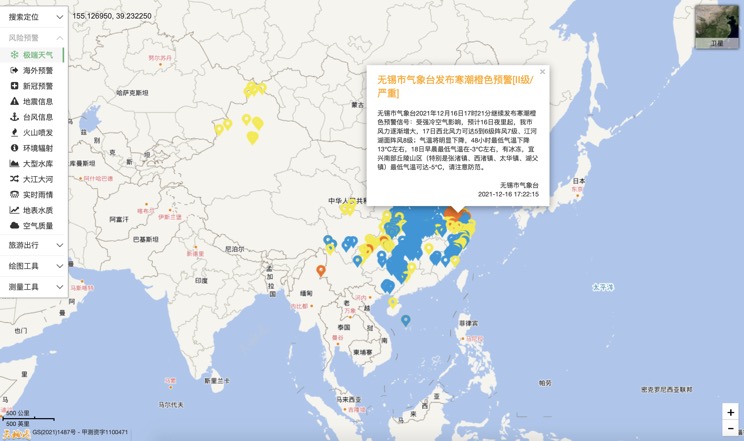
Extreme weather in China
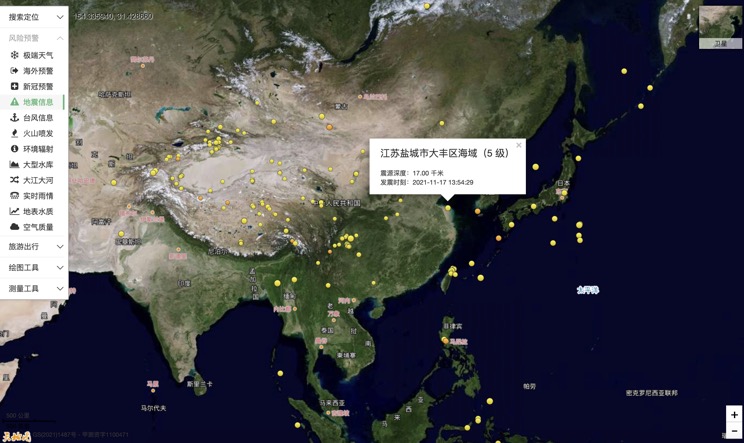
China Earthquake Information
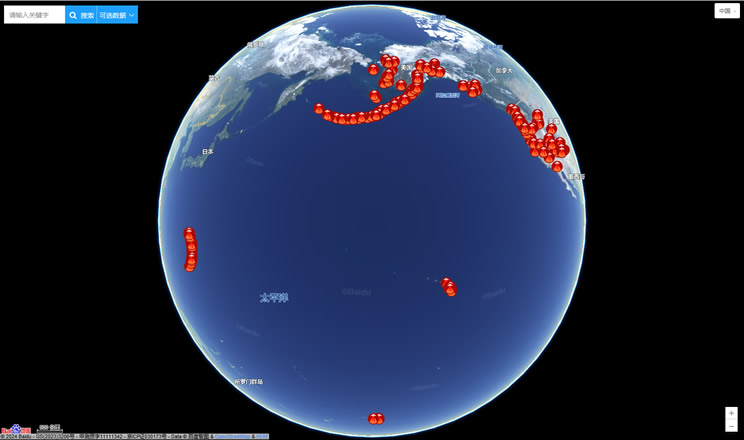
Volcano eruption
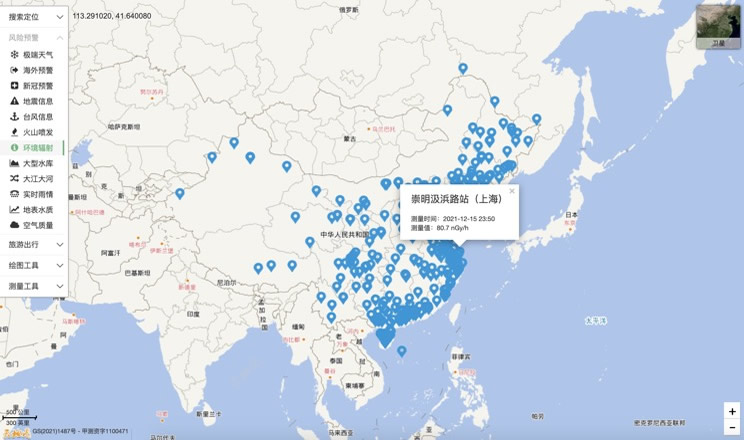
Environmental Radiation in China
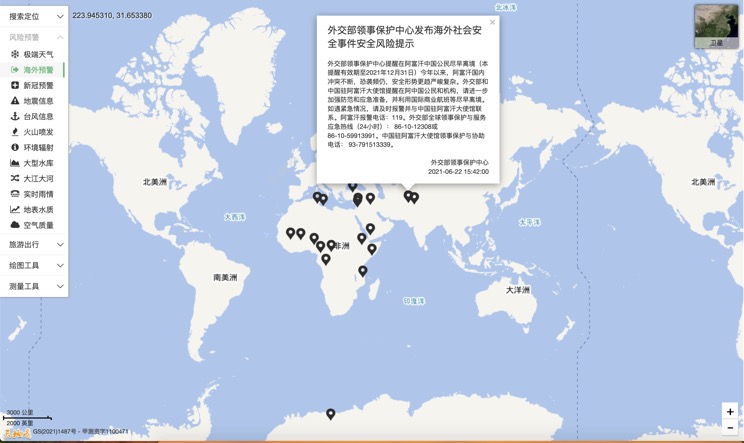
Overseas Warning
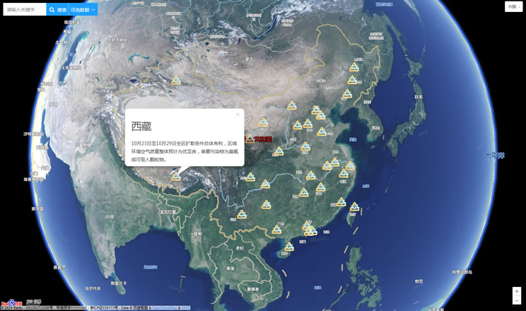
China's air quality
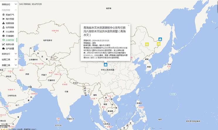
China's Water Disaster Alert
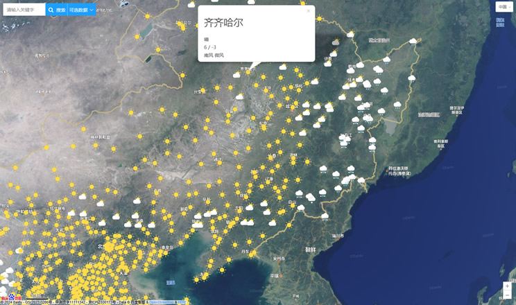
China Weather Forecast
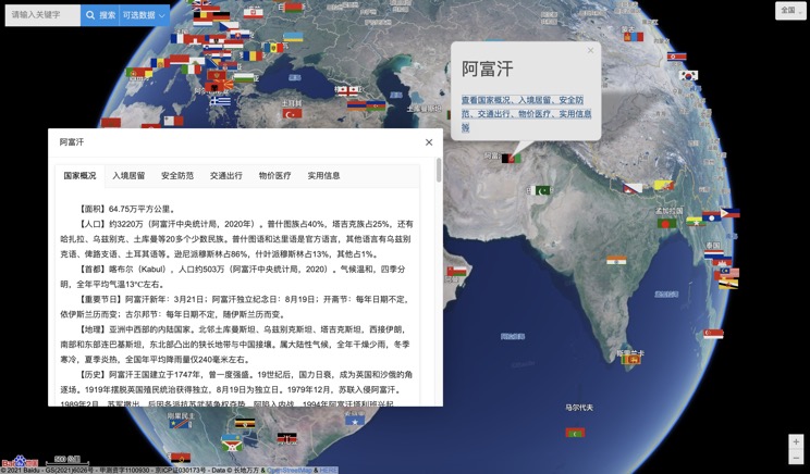
Introduction to Countries
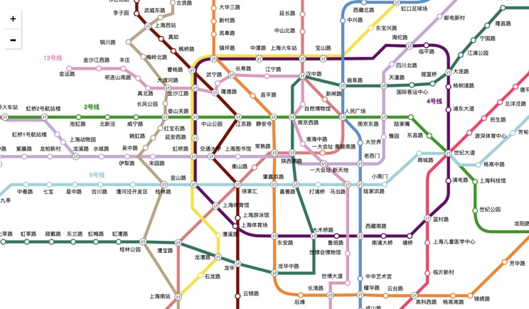
China Subway Lines
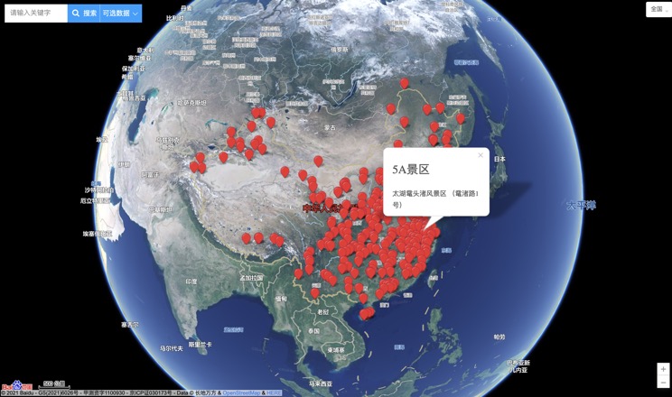
China's 5A Scenic Spots
Provincial Capitals in China
